

DSM for Shade Analysis in San Diego, CA, U.S.
Design and Install with Confidence
Choose from Vertical, Oblique, DSM, and True Ortho imagery to give your developers a truly flexible approach for best-in-class solar intelligence output.
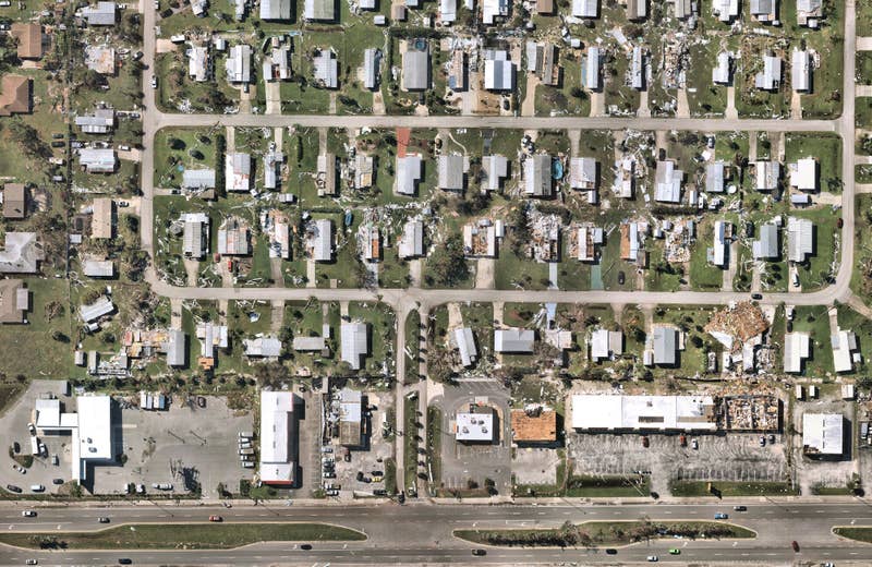
Post-catastrophe imagery and AI-derived property damage and condition data unite to help insurers process customer claims more efficiently.
Leverage up-to-date aerial insights to accurately bid, win, and manage solar projects. Nearmap captures over 80% of the U.S. population - with areas surveyed up to three times annually.
Instant feature extraction supercharges cost savings with minimal manual efforts. Nearmap AI provides a variety of feature extraction layers to fuel the next level of solar intelligence.
Nearmap AI is our image and object recognition product which enables you to derive deeper insights of an area or parcel in seconds. Derived from our high-resolution vertical and oblique imagery, you can easily interact with the relevant AI Layers from MapBrowser. Or should you simply want to bring our AI-derived data to your workflow, you can download or use AI Feature API and integrate with your tech stack.
For a full list of AI Packs and Layers, visit our Help Center.
If you want to interact programmatically with our data to always get the latest content, you can clip out a small area of our AI vector content using the AI Feature API. With the latest data on a property sized Query AOI typically returned in a few hundred milliseconds, this is ideal for integration into customer facing workflows where seconds matter.
We also recommend the AI Feature API for enterprise use, where massive throughput is required for regular bulk updates in an automated fashion. To learn more, visit our Help Center.
If you want to interact programmatically with our data, you can pass through a bounding box, defined by a point and a distance from the point (max 100m distance), using the DSM and True ortho API to retrieve a subset of Nearmap 3D content. This API is designed to work with smaller areas, such as typical residential and small commercial properties.
For more information, check out our Help Center: DSM and True Ortho API

